The route:
https://ridewithgps.com/routes/6137179
Stats from today's ride:
Miles: 68.61
Time: 3:49:41
Average Speed: 17.92MPH
Max Speed: 52.16MPH
Elevation Gain: 5375 feet = 78.34 feet per mile
The captions to the photos contain the rest of the ride report.
This is on route 31 about 17 miles into the ride. It passes across the Kendall Reservoir. You can't tell from the photo but this is the end of a phenomenal descent. You come flying out into the beautiful open area with water on both sides. I hit 47.37MPH today.
This is at the route 31/route 62 intersection. The ride goes straight across here onto Mountain Road. There's a sharp ascent just ahead.
The entrance to the Wachusett Mountain Reservation. Upon exiting, I took the left (straight ahead in this photo) and the incredible descent on Mountain Road is just ahead. That yellow sign in the distance indicates the hill's magnitude.
The road to the summit passes several ski runs some of which have chairlifts over them.
Continuing on the road to the summit.
The ascent is straight ahead and the descent comes in from the one-way road to the left.
A level spot about halfway up.
One of the lefts that are taken to reach the summit. Shortly after this turn is where the ascent gets steep hitting 15% grade.
This area is called The Ledges and offers superb views. This is not far from the summit.
At the summit with the observation tower.
Another area at the summit.
One of the many hiking trails. There were many people on the mountain today, hikers and drivers. I didn't see any other cyclists which surprised me.
Ready to leave the summit. I had to ride slowly down a cramped walking path with many people on it. It took a toll on my average speed for the ride.
This is the start of the real descent within the park. It's normally extremely fun with many twists and perfect pavement. There were so many hikers and walkers on it today, however, that I had to scrub a lot of speed.
BUT, upon exiting the park and taking that left shown in the earlier photo, there are no limits on Mountain Road and I achieved a new speed record for that descent:
I actually caught up to a car that was descending and had to brake briefly but then I was able to stay in its slipstream almost down to route 142 at the bottom.
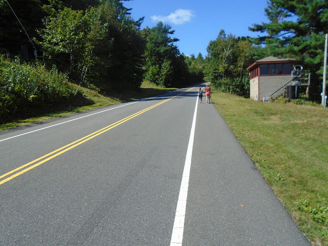
The small section of route 142 is the one unpleasant part of the ride. There's a lot of traffic, no shoulder, and lousy pavement. However, once you get on Mirick Road shown here, it's very quiet. This is the flat part at the end of it but there is much elevation gained and lost prior to this. A really fun road.
This is after the climb up route 62 back to the intersection with 31. That hill sign was well placed. It's not long but a fairly tough hill.
Once back on 31, the ride just retraces the route taken on the way.


