Thursday, March 15, 2018

42 Mile Ride the Day After the Storm (Ferncroft/North Andover/Boxford/Topsfield)

Just because the region got 18 inches of snow yesterday, is no reason to not ride the next day! Today’s ride was far less sketchy than other rides I’ve done this winter. Most roads had no snow at all on them and many were even dry. I went by Ferncroft and then circled through North Andover and Boxford before heading back to Danvers through Topsfield. The captions on the photos tell the story of the ride and identify the locations.
The elevation gain is only 45.6 feet per mile but by hitting the hills hard, it's possible to get in some decent intervals.

The captions on the photos tell the story and locations.

Near the beginning of the ride passing in back of the Hogan center.

The Ferncroft hill is a fantastic place to ride. Here's the place where you have to decide if you want to ascend via Locust or Village. I usually take Locust and then loop around and descend Village but Village makes for a fine ascent as well. I don't recommend descending Locust because you have to come to a hard stop whereas Village allows you to keep all your speed from the descent which can be considerable.

About to plunge down Village. Care must be taken with cars exiting and entering Ferncroft but as long as you're aware, you can pretty much go all out on the descent.

Sharpeners Pond is completely clear of snow.

Even Lacy/Brookview was almost totally clear which is often a spot that stays snow-covered longer than other roads.

On Foster.

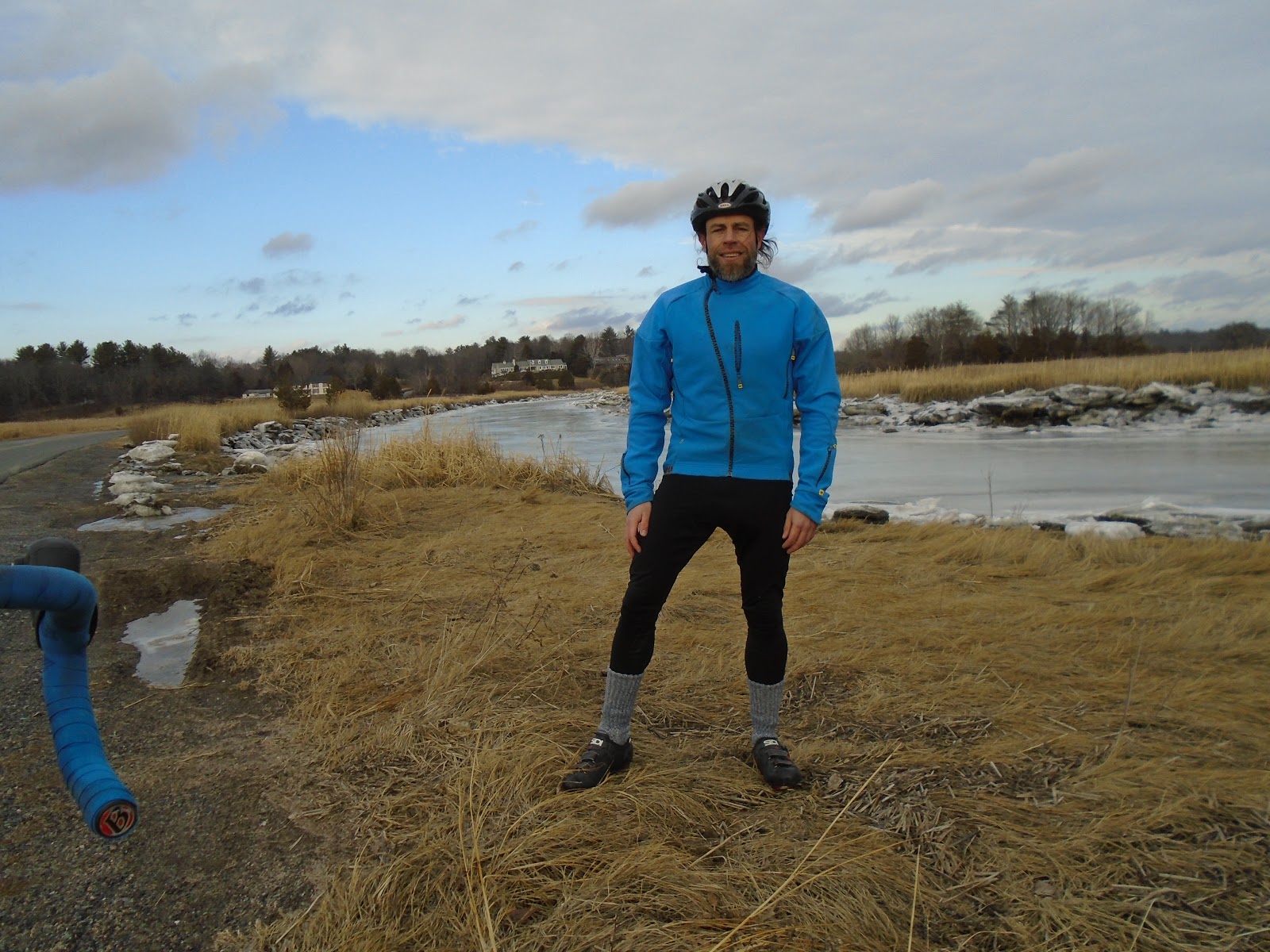
Even the little turnout on Foster had been plowed out. It's a good place to stop. By the way, those are shorts I'm wearing not a skirt as the photo makes it appear!

I like this section of Winter street with this cool marsh area.

A closer look at the marsh.

Looking up the Howlett ascent from the Topsfield side. The picture doesn't do the hill justice. It's a great hill to power right up.

Looking back the other way on Howlett.

Monday, March 5, 2018

A Makeshift Boot to the Rescue!

Notice that cut tire in the first photo? Not something you want to have happen 19 miles into a bike ride! I don't know what I hit but my tire/tube went immediately flat. I looked around and still didn't find anything sharp.
Usually I'll have a couple dollar bills with me or an energy gel packet. Either would work as a boot. Unfortunately I didn't have them so I looked around and fortunately there was some litter on the side of the road. This was a big slice so I'd need a good sized piece of plastic something to even have a chance of it working.
I found the perfect thing! Something labeled 'purple haze' that I think was for cigar wrappers. I tucked it into my tire and inserted a new tube. I went back to my house the quickest way I could which was 12 miles and, miraculously, it held! The last photo shows how much it was bulging out by the time I got back.
Usually getting a flat is a pretty routine fix but this required some ingenuity and luck to work.

A very large cut in the tire.

A makeshift boot to cover the sliced area of the tire.

It fit perfectly.

Not sure how much longer that would have held.

Friday, March 2, 2018

Crane Beach/Gloucester/Magnolia Ride Report

I hit another great weather day on a Wednesday. It was 60 degrees in Danvers when I left and only a bit cooler in Gloucester and Magnolia because it wasn't a sea breeze today. I hit some particularly beautiful areas on this ride starting with Crane Beach and the approach to it. I then continued into Gloucester taking 133. I was somewhat surprised to see Woodman's open considering the damage it took in the January blizzard.
I then cut through Stagefort Park before getting on 127 and taking Hesperus which passes Hammond Castle. I then stopped at Magnolia Harbor and savored the views along Shore Road. At least some of 127 has been repaved but more of it is in desperate need.
It was about 58 miles but with less elevation gain per mile that my inland routes as it was only about 43.5 feet per mile on this one.
The photos tell more of the story of the ride.
On Argilla Road getting near to Crane Beach.

Further on Argilla with the marshes in the background.

The entrance to Crane Beach.

Looking over to Gloucester Harbor from Stage Fort Park.

Another view from Stage Fort Park.

Looking to the right.

Hammond Castle on Hesperus.

This could be my favorite place to stop on all my routes. There are plenty of benches here overlooking Magnolia Harbor. The lighting isn't great and it's low tide but still beautiful.

The temperature was noticeably cooler in Magnolia near the water but it wasn't a direct sea breeze so I wasn't too uncomfortable in shorts.  This is Magnolia harbor.

More benches can be found down Shore Road.

More gorgeous views from Shore Road around the corner.

Looking back.

I usually take the left here on Fuller. Shore Road continues but the pavement becomes very bad.

This is fresh water Wenham Lake as I neared the end of my ride.

I felt pretty good for a ride of almost 60 miles this early in the season.  Not being sick for a long time has helped.


Friday, February 23, 2018

Danvers to Andover (Phillips Academy/Bald Hill) and Back

Here's my fourth ride report with photos included. What a day with 70+ degrees in February! My 57 mile route took me from Danvers into Andover passing by Phillips Academy and then coming to my destination of Bald Hill. I then went home by mostly different roads. The captions on the photos tell the story.

The route: https://ridewithgps.com/routes/26906159
The climbing is approximately 53.5 feet per mile.


This was about 10 miles into the ride passing through Harold Parker. The road has been beautifully repaved and it now is a joy to take.

Next to Phillips Academy. Sometimes I ride through the campus but not today. This is Phillips street with its very nice hill right in front of me.

The intersection of Reservation and Cutler. I love Reservation for its non-stop twists.

This is on Haggetts Pond road after getting off route 133.  The stretch of 133 isn't too bad with usually a decent shoulder but this road is much nicer and quieter.

This is on Holmes Road doing the Bald Hill ascent. Around that turn is its steepest section.

At the top of Bald Hill. I often have the place to myself like I did today. Sometimes I see runners doing hill repeats. This was 20 miles into the ride and a nice place to stop for a bit.

The lookout tower on Bald Hill.

The huge antenna up there.

Getting ready to do the descent. Caution is required as the road has many heaves and it's easy to start bouncing. It's not a fun descent for this and the fact that it ends in a T junction. The hill itself is still a nice training tool.

This is on High Plain which is a fantastic street to ride for its entirety. You can see in the distance that it's about to go down. With some pedaling, it's not hard to max out near 40 with some nice twists thrown in.

This is also Reservation but a section that wasn't taken on the way. Notice that nice turn ahead. It's hard to tell but this actually a decent hill allowing plenty of speed for that turn.

More Reservation. I love signs like that! 

This is on Rattlesnake. It's hard to see with the lighting back there's a fantastic S turn in the distance which is great fun from both directions. Soon after I got going again, 3 deer ran right in front of me!

This was an experimental 'fly-by' photo that I took while riding and approaching Lockwood. The photo came out pretty good.

As with most of my rides, I took Howlett and then Wenham roads to finish up the loop.  These add significant vertical to the route, at least by North Shore standards.

Tuesday, February 6, 2018

Ride Report for Danvers/Topsfield/West Newbury Loop

Today's ride took me from Danvers through Topsfield then over to West Newbury before looping back by Governor's Academy.  It was 29 degrees when I left and 32 when I got back which was colder than the forecast.  This was probably due to very limited sun whereas they had said there'd be more during the afternoon.  Much of the route was flat but I threw in some hills near the end.

The route:
https://ridewithgps.com/routes/26829183

It covers 47 miles with 2310 feet of elevation gain which is just short of 50 feet per mile.

Just a few miles into the ride, this was taken at the top of Hill Street.  It's a nice descent with a few twists though not as fun as the Howlett descent.

Here's Mehaffey Farm on Newbury Road.

This is the Moulton reservoir.  Straight ahead in the photo is Illsley Hill which I did on today's ride.  It's well worth doing despite being a dead end.

Further along on Moulton is this place that is ideal to stop.  In the nice weather I enjoy sitting on that concrete wall while looking over the water.  This whole area is very picturesque.

Here is Great Meadow on Orchard Street.

This is on Middle Road approaching Governor's Academy.

I enjoy riding through this wide open marsh area.  The bridge crosses the Parker River.


I sometimes stop on North Street by this dirt path for some solitude.  Very few cars access this road at least on this section.